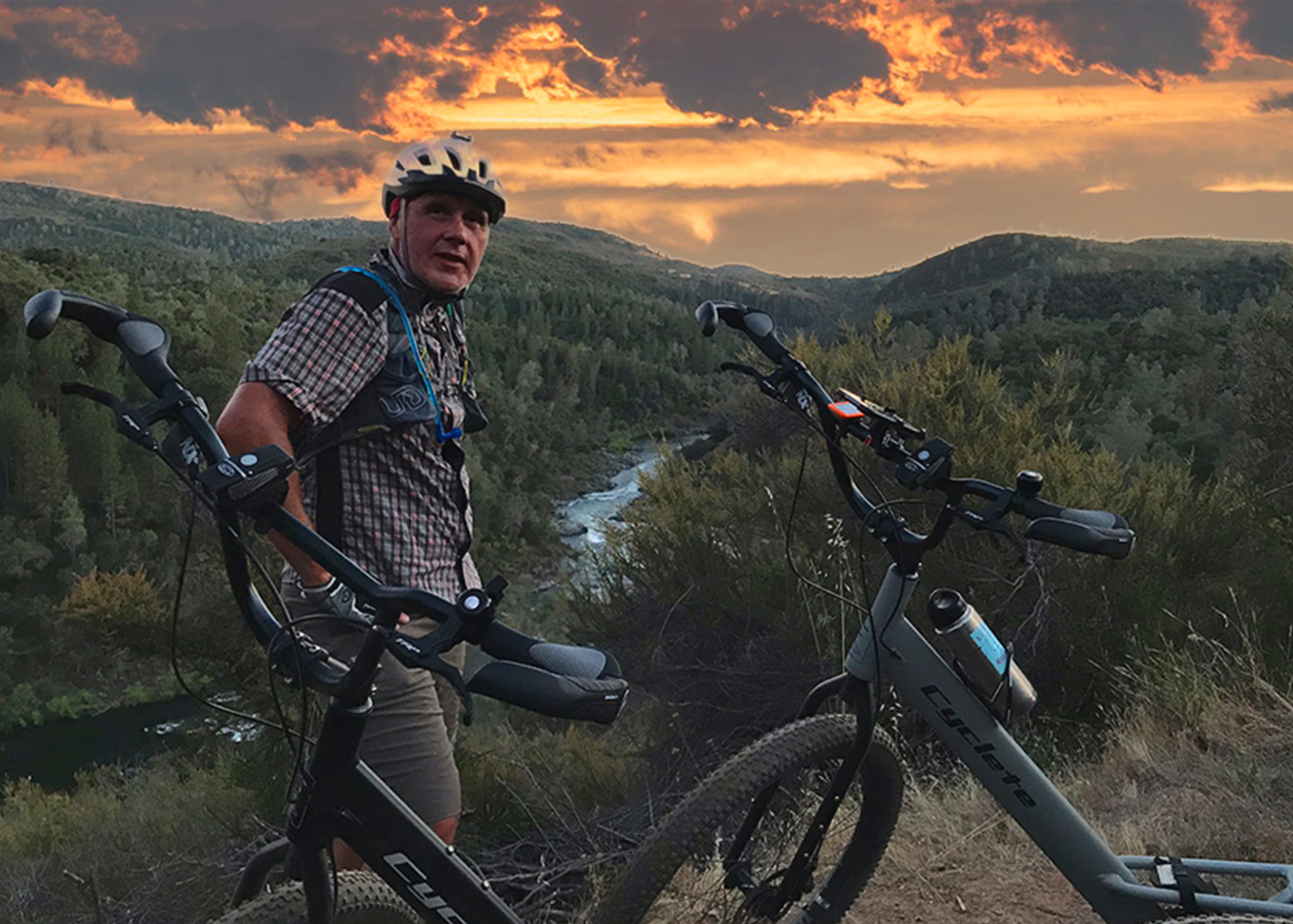
Circumnavigating Folsom Lake is something we’d been wanting to do for a while. Having received our new, trail-worthy Cycletes a few weeks earlier, we were finally ready to put our plan into motion.
Check out our video highlights here.
About the loop:
The lake is surrounded by park land (Folsom State Recreation Area [FSRA], Auburn State Recreation Area [ASRA], and Cronan Ranch Regional Trails Park) and trails can be linked together to make a nearly full circuit following a variety of trails. Unfortunately, half of those miles are closed to bikes.
Note to public land managers: Public lands are PUBLIC – they should be open to EVERYONE, not just equestrians.
Our ride included some great trail sections of Granite Bay (FSRA), ASRA, and the Cronan Ranch, as well as a few really nice bike paths (American River Parkway, Johnny Cash Trail, and Cool). We did need to use about 27 miles of road to connect it all together – not ideal – but most of the roads had decent bike lanes, and/or low traffic, and couldn’t be avoided (see above).
Our route included:
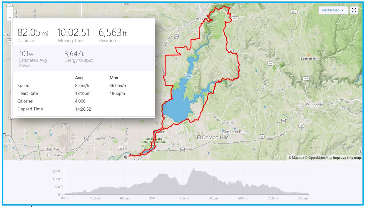
- ~ 82 miles
- ~ 6,500’ of elevation gain
- ~ 10-hr ride time
- a mix of road, trail and bike path (about 1/3 each).
- A LOT of rest stops – it was hot (triple digits)…
Our route via Strava (download the GPX file):
.
In summary: This was a fun, challenging and scenic loop! We plan to do it again soon, in the opposite direction (counter-clockwise), and maybe with a new trail section in lieu of Salmon Falls Rd. (Kanaka Valley BLM land – TBD).
While most of the ride went to plan and was a lot of fun…
- We got a late start (10:30 am) and ended up finishing the last 30 miles or so in the dark!
- There was a particular hike-a-bike section (Mr. SUB thought it’d be a good short-cut) through some of the thickest poison oak we’ve ever seen. Maneuvering our Cycletes on this less than ideal trail literally had us swimming in the stuff. Do this: take the Brown’s Bar Trail to connect from the Quarry Trail to Cool, not the Quarry Connector Trail, as we did. (ASRA). Fortunately, we didn’t get any PO – we did apply Technu liberally after making it to Cool (and the market), and washed up at the Olmstead Loop Trailhead (in Cool).